
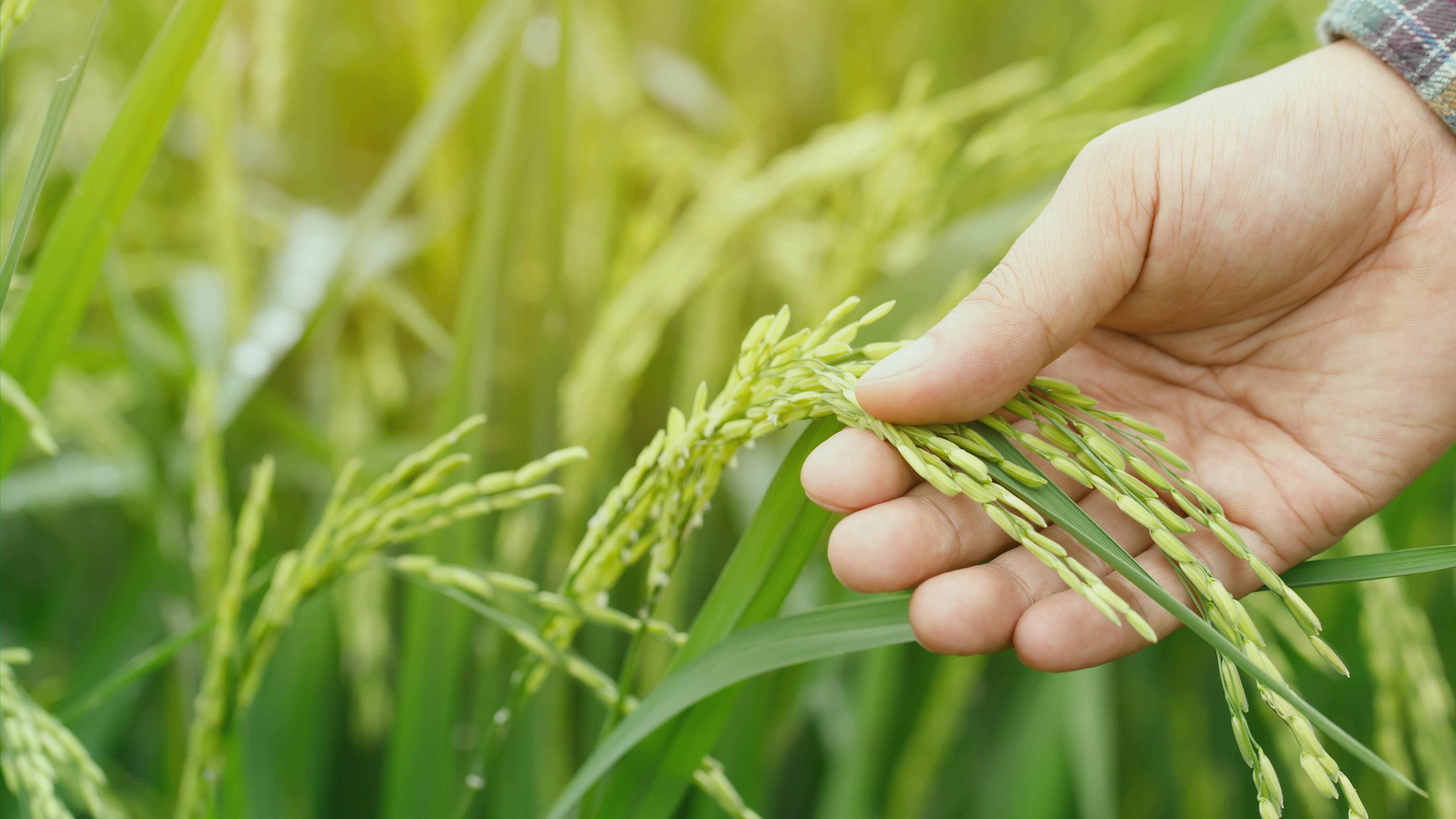
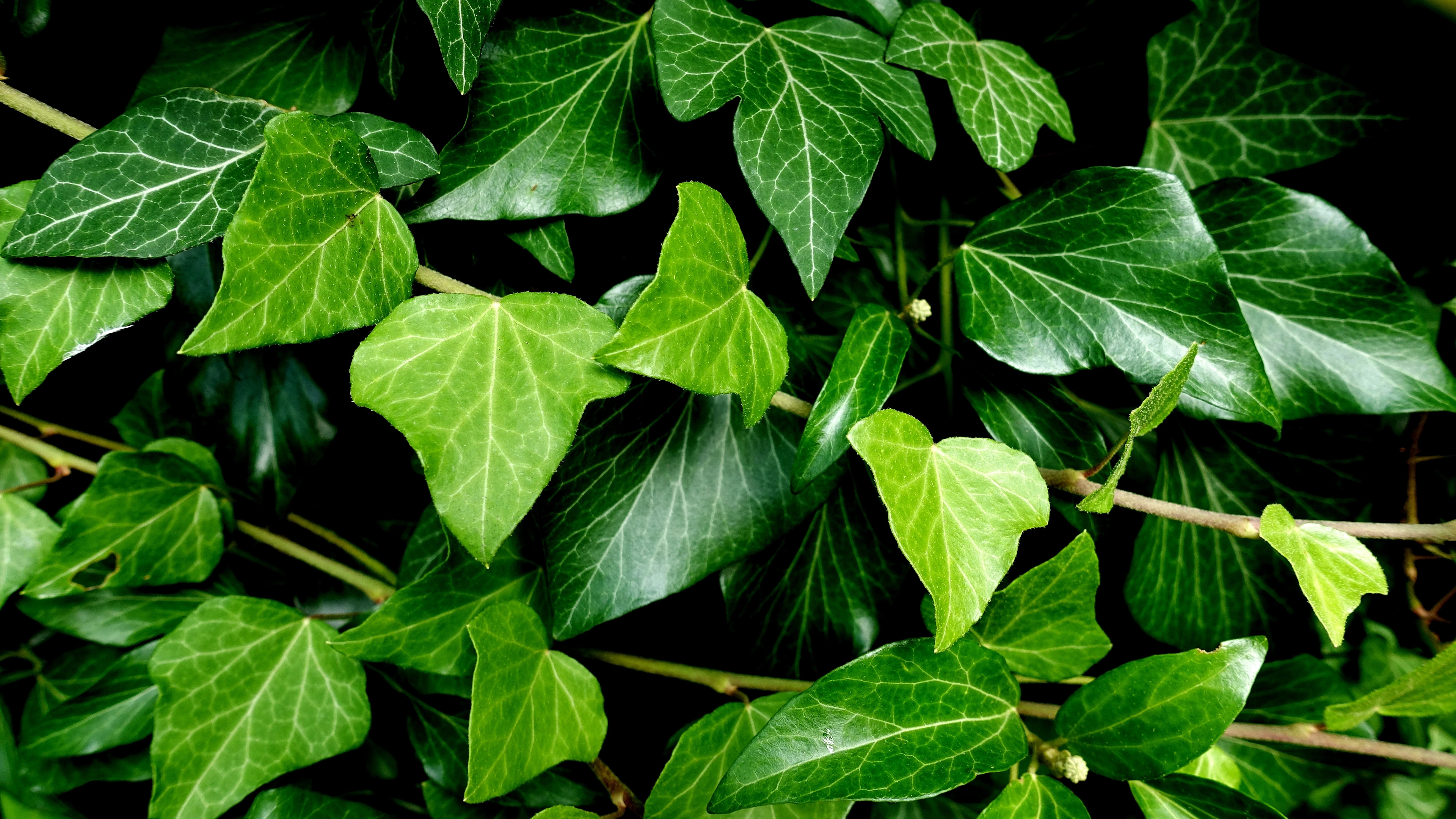
Plant Visualization
Discover, map, and share the thriving plant life around you, connect your community through nature!
AniTala: A Community-Driven Plant Mapping and Geo-Tagging Web Application
Anitala is a community-driven platform that connects plant enthusiasts, foragers, and nature lovers. Discover, identify, and share knowledge about plants in your local area.
Plant Visualization
Explore an interactive map of plants in your area. Filter by species, season, or availability to discover what's growing near you.
Community-Powered Identification
Not sure what plant you've found? Upload photos and let our community help identify it through our voting system.
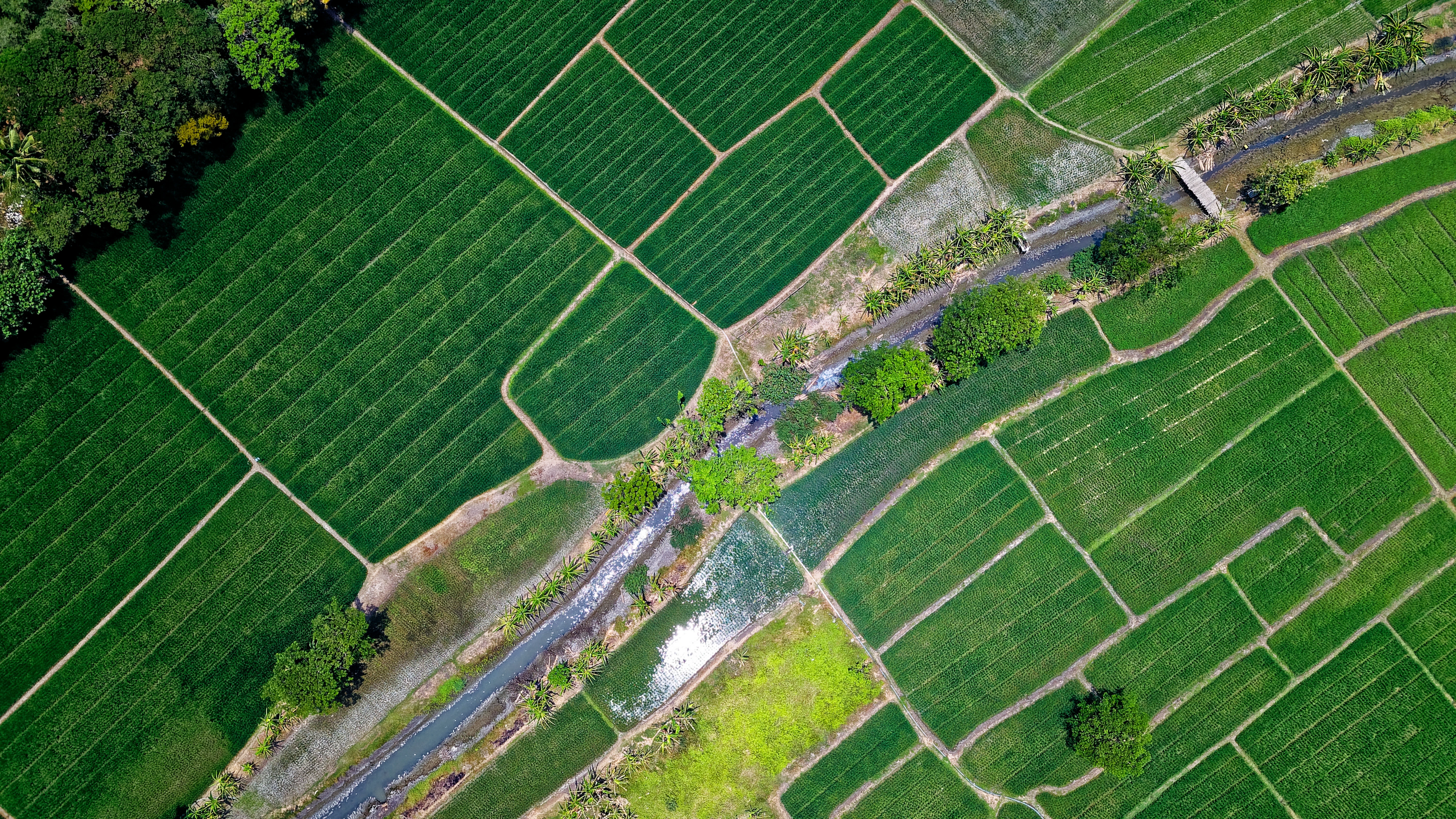
Geo-Tagging
Pinpoint plant locations on our interactive map. Help build a comprehensive database of local flora for your community.
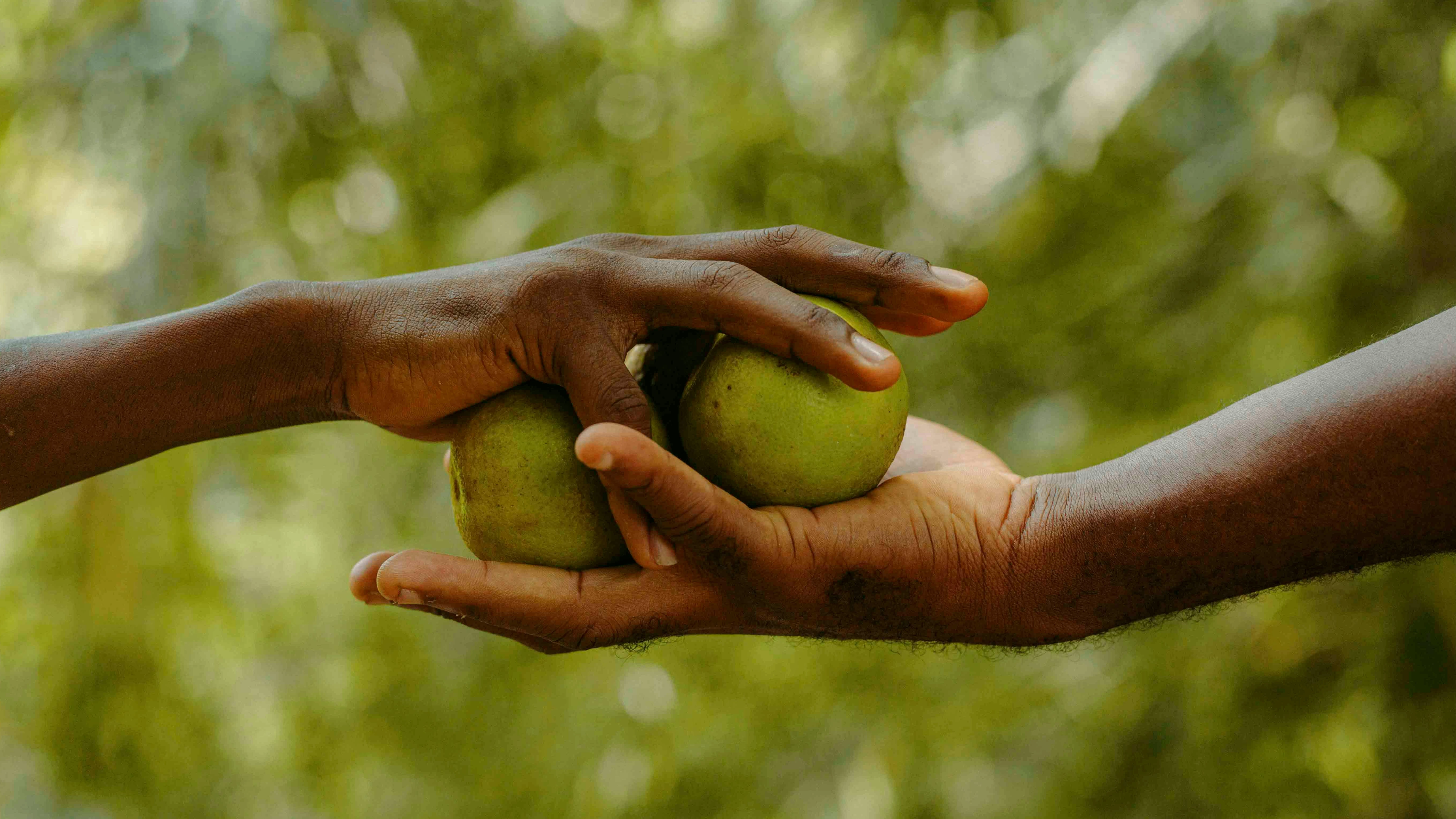
Harvest Sharing & Trading
Got extra harvest? Share it or sell it directly through AniTala! You can chat instantly with interested buyers or fellow growers to discuss details, prices, or pickup options — making transactions simple, secure, and more personal. It’s a great way to support local growers, reduce waste, and build meaningful connections.

Report & Contribute
Help maintain our community standards by reporting issues. Your contributions help keep Anitala a safe and reliable resource for everyone.
Grow Smarter: AniTala Tutorial
Learn how to use AniTala easily. Follow simple guides to add plants, share harvests, and connect with the community, perfect for beginners and experienced users alike.
Rinconada Biodiversity Research Project
This geotagging system is specifically designed for our capstone research on biodiversity mapping and plant conservation within the 7 Rinconada municipalities (Baao, Bula, Buhi, Iriga City, Nabua, Bato, and Balatan) in Camarines Sur. Plant locations can only be tagged within this designated research area to maintain data integrity and research focus.
Recently Added Plants (Last 7 Days)
No plants or activities to display yet
Check back soon or add a new plant to get started!
Plant Details
Plant Name: Unknown Plant
Status: Active
Description: No description
Plant Type: Unknown
Variety: No variety specified
Area: No area specified
Visibility: Unknown
Owner: Unknown
Date Added: Unknown
Latitude: Unknown
Longitude: Unknown
Administrative Location: Location not specified